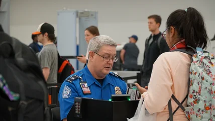
Newsletter Sign-up

Find vacation packages, news, contests & more in our free newsletter!
Close

Member Login

Logging In
Invalid username or password.
Incorrect Login. Please try again.

Not a member? Register Now!

Signing up helps us keep offensive content off of our site. Take a moment to register or click here to learn more about our privacy policy.

The Best Itinerary: Island Maps and Printable Day-by-Day Guides

The Best Itinerary: Island Maps and Printable Day-by-Day Guides

Find out how you can explore the true island experience with these itineraries

Throughout 2010, every issue of ISLANDS magazine includes day-by-day itineraries of featured island destinations. Click on the maps below to see the interactive Google map of the trip our editors took to each of these islands. You'll find the recommended routes and the best resorts, restaurants and sights along the way. And at the bottom of this page, find free printable PDFs that track the editors' recommended route for your trip, day by day. This is how you experience the true island for one of the best trips ever.

MARCH 2010 issue

   
Iceland with map tag* New Zealand Curacao


JAN./FEB. 2010 issue


DECEMBER 2009 issue

Jamaica Maldives Wish List


*The Iceland print-and-go guide has this icon on it for use with the free Microsoft Tag Reader app in the Apple iTunes Store and at gettag.mobi. Launch the app, hold your phone over the large icon on the printed page, and you'll get the interactive Google map of the itinerary. Watch for more such icons in future itineraries.

image-

Digital Edition Subscriptions

  • iPad
  • Kindle
  • Nook
  • Google Play
  • Zinio