
Between The Lake District And The Yorkshire Dales Is England's Scenic Paradise In A National Park With Countryside Views
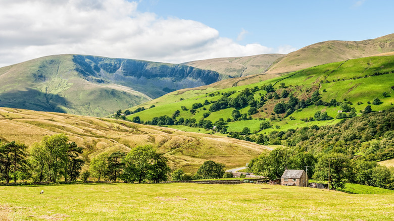
The Howgill Fells sit on the western edge of Yorkshire Dales National Park, between the rural settlements of Sedbergh and Ravenstonedale. Characterized by rounded hills with grassy summits and little vegetation, this remote upland area feels a world away from the lush Lake District National Park landscapes to the northwest. The famous guidebook author and hillwalker Alfred Wainwright once described the Howgills as a "herd of sleeping elephants," referring to their distinctive shape, and it's easy to see why. This scenic rural paradise is an underrated destination that attracts visitors looking for hikes with uninterrupted views across the countryside of Yorkshire and Cumbria.
There are few settlements or roads in the Howgill Fells, giving the area a peaceful, remote vibe. Down in the valleys, you'll see sheep and cattle grazing on pastureland flanked by the region's traditional dry-stone walls. It paints a quaint pastoral picture, especially when the sun is shining. Meanwhile, hardy fell ponies roam free on the upper slopes in all weather. You can sometimes spot them from the trail, or even from the road as you travel up the M6 motorway, which runs between the Howgills and the Lake District.
I'm local to the area and often visit the Howgill Fells for hiking when I want to escape the crowds of the Lake District. Below, I'll share some of my favorite hiking routes in the Howgills to help you plan your own visit. I recommend basing yourself in the market town of Sedbergh on the edge of the Howgills for easy access to the hiking trails, accommodations, and restaurants.
Hiking in the picturesque Howgill Fells
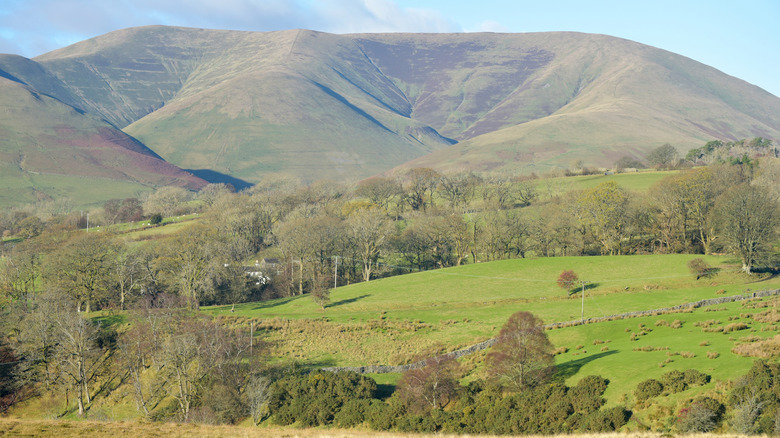
The heart of Yorkshire Dales National Park has breathtaking views, but it can feel busy in summer, so escaping to the Howgills is a quieter, yet equally scenic choice. Hiking is the main reason to visit the area, which has several trails of varying length and difficulty. Lower than many of their Lake District counterparts, the Howgill Fells offer opportunities for gentler walks without compromising on the far-reaching countryside views.
The tallest summit in the Howgill Fells is The Calf at 2,218 feet, which can be reached via Cautley Spout — the highest waterfall in England. The 6-mile circular route begins just outside Sedbergh and takes around four-and-a-half hours to complete. From the top, you can see all the way to the Lake District, and even across to Morecambe Bay on a clear day. "It's a beautiful walk but be prepared for a steep ascent," one hiker wrote on AllTrails. It can get windy up here as there's little shelter on the exposed hillsides, so I recommend picking a calm weather day and packing your waterproofs too. There's roadside parking for a few cars near the Cross Keys Temperance Inn, so arrive early to bag a spot.
For a less challenging hike, head to Tebay, which is handily located just off the M6, and follow the 5.7-mile trail up Blease Fell and Hare Shaw. The gradients are gentler and the scenery is rewarding, with great views over the Lune Valley and Borrowdale, per Walking Britain. There's roadside parking at Mount Pleasant in Tebay near the start of the trail. If you're in the area for a few days, I recommend also taking in the dreamy town of Windermere or the idyllic village of Grasmere over in the Lake District for a vibrant contrast from the quiet Howgill Fells.