California's Underrated Town In The Mountains Boasts Rich Gold Rush History And Vibrant Fall Foliage
Although it is now the third-largest state in the U.S., California once had a population of just around 14,000 people. California's population boom was a direct result of the gold rush back in 1848. A few years into the California Gold Rush, miners flocked to Weaverville after news broke of Pierceson B. Reading's success from mining the Trinity River.
Today, abandoned mining shelters, picked-over mines, and perfectly preserved gold rush towns are all remnants of the state's historical gold rush. Weaverville welcomes history buffs to enjoy a day at LaGrange Mine, a California landmark. Closed in 1918 due to high costs, most of the mining supplies were sold off. Visitors today can still view the scarred land and tailings that measure between 40 and 120 feet deep.
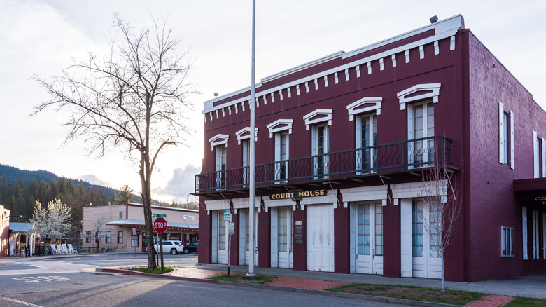
Visitors to Weaverville can browse historical sites and modern galleries. For gold rush historical items, the Jake Jackson Museum displays old artifacts from the gold boom as well as more modern decades. You can also visit the Weaverville Joss House State Historic Park, which is a preserved 1874 Taoist temple.
Gold panning is still popular within the Trinity River
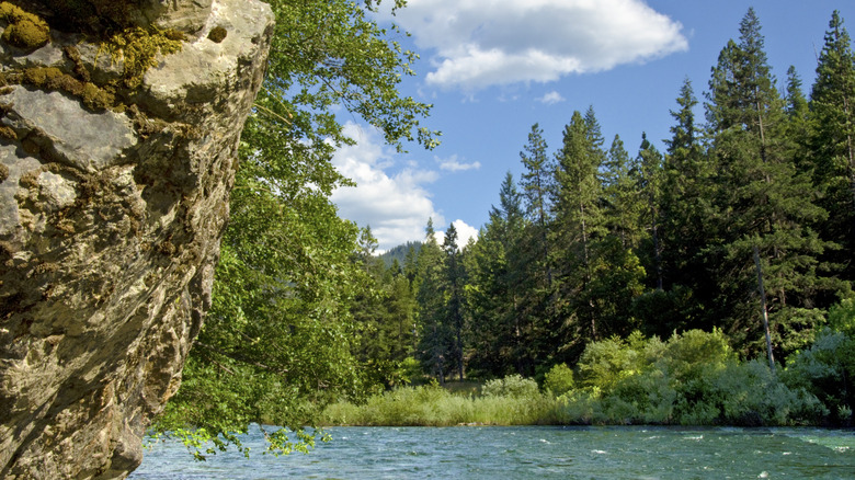
Located within Trinity County, Weaverville is one of today's principal gold districts within the Klamath Mountains. Running through Weaverville, the Trinity River and its tributaries are one of the most productive locations for gold mining, a popular activity among visitors. For the best chance of locating gold, pan when the waters are low and keep an eye out for bedrock and river bends. Keep in mind that most locations follow the "hands and pans only" rule; no picks or shovels allowed.
When searching for gold in Weaverville, be sure to remain off private land. Areas managed by the Bureau of Land Management and the Forest Service are usually acceptable places for prospecting. It is recommended to pan during early spring, early summer, and fall, because that is typically when water levels are the lowest.
Getting to Weaverville and the best time to visit
Reaching Weaverville can be done in a few different ways. If driving down from the north, consider a roughly two-and-a-half-hour drive southeast from Redwoods National Park, home of the world's tallest trees. Alternatively, pass through Weed, California, and take an 80-mile trip to the southwest and arrive in Weaverville. Prefer to fly? Touch down in Sacramento. Before starting on the 198-mile journey in your rental car, be sure to check out the fall foliage at this popular trail. While Sacramento has the nearest international airport, some regional airports are closer to Weaverville, such as Redding's airport, about 45 miles away.
Throughout Weaverville and Trinity County, there are plenty of places for viewing fall foliage. No matter which corner of the town or county you visit, there are majestic hues of yellow, orange, and red leaves of the cottonwoods, ferns, maples, oaks, and dogwood. Peak time for leaf peeping is from the middle of October through the end of November. For a stellar leaf peeping experience, cruise down the Trinity Scenic Byway, known as Highway 299, and follow a curvy path through the Trinity River gorge that is aligned with plenty of leaves shining in different fall hues. Leading north, the Trinity Heritage National Scenic Byway also provides amazing scenes of color-filled areas among Trinity Lake and the Trinity Alps Wilderness Area.