This Beloved Google Maps Feature Is Making A Comeback Just In Time For Ski Vacations

'Tis the season for ski vacations. If you've long been a fan of carving powder at the world's mountain resorts, chances are you sorely missed a surprisingly absent Google Maps feature during the 2024/25 ski season. Google removed ski trail maps back in October 2024, much to the chagrin of Google Maps users across the country, but lo and behold, the feature is back in action for the 2025/26 season. It couldn't have come at a better time, with many people gearing up for a ski vacation at places like Whitefish, Jay Peak, and Timberline Lodge, just three of America's best underrated skiing destinations.
It seems Google has listened to the people on this one, bringing back ski trail maps in response to an online petition with almost 3,000 signatures. The petition called out the removal of ski lifts, slopes, and cable cars as a decision that "disrupts the daily lives of mountain dwellers and hampers tourism," putting the economies and livelihoods of mountain communities around the world at risk. The petition's high number of signatures has demonstrated the importance of these features enough for Google to start rolling out ski information for resorts again.
"We heard from many people who missed having ski information on Google Maps, so we're bringing ski lifts and trails back this winter," a Google spokesperson told Powder. "You'll see up-to-date ski information starting with popular resorts across North America and Europe." However, this rollout means that not all ski resorts will have updated trail and lift maps right away. Some may not even be ready for this current season.
New skiing features on Google Maps
The main reason for Google's gradual rollout of its updated ski maps is data. The company needs to update its data set with information from the actual ski resorts as well as its own satellite and aerial imagery. While this means the process takes longer and certain resorts are omitted initially, ski vacationers will benefit in the long run by having access to more accurate maps showing chairlift and trail start and end points more clearly.
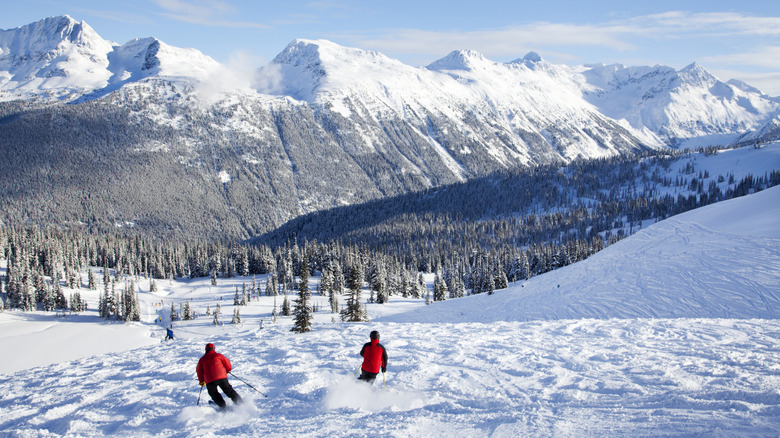
Some users may be frustrated by this, simply wanting what they had before it was removed in October 2024. However, if you want to see all the current lifts and pistes at your resort, the wait will be worthwhile. Right now, the maps are only available at popular European and North American resorts. This includes Whistler Blackcomb, Park City Mountain, and Palisades Tahoe, the latter of which is one of the best ski resorts in California.
If you're planning on skiing elsewhere, you'll need to wait until Google has reviewed and released its updated data. Fortunately, there are other options available that have served skiers and snowboarders well. OpenSkiMap is great for finding resort trails, Rakkup is better if you're looking for backcountry runs, and specific resort map apps often do the trick, too. These are a little less convenient than just opening Google Maps on your phone, which has a well-known user interface. Ski lifts and runs of varying difficulty are also clearly marked to help people navigate resorts more easily and enjoy more time on the slopes. Knowing the ski lift locations like the back of your hand still won't help with the long queues, though. For that problem, people are embracing skinning, a growing trend to bypass long lift lines.