
Over An Hour From Sacramento Is California's Pretty, Flower-Filled Park For Fun Paddling, Fishing, And Hiking
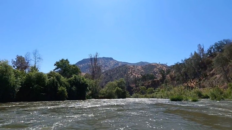
There's nothing quite like feeling immersed in nature and enjoying the outdoors, and California has no shortage of places where you can do that. But if you're looking for something more off-the-radar than a place like, say, Yosemite or Lake Tahoe, visit Cache Creek Canyon Regional Park. It's a 600-acre protected area along Cache Creek near state Route 16, and along with creek access, it has a mix of oak woodlands and meadows as well as 2,000-foot-tall hills and ridges. The park is on the southeastern side of the Berryessa Snow Mountain National Monument, about a 75-minute drive northwest from Sacramento.
Here you can paddle, camp, fish, and hike trails made colorful with spring wildflowers in what feels like rugged wilderness, while not actually being all that far from civilization. There are three different use areas that allow access to the park along the water: upper, middle, and lower. Cache Creek itself is the outlet for Clear Lake, draining water east from the lake towards the Central Valley. It runs largely through wilderness without roads, with steep canyon walls. So access points like those in the regional park are relatively few and far between.
Anglers can expect to find smallmouth and largemouth bass, as well as catfish and pikeminnow. But be aware, there are warning signs in the park describing the potential health hazards of eating fish caught in Cache Creek. If you're looking to go river rafting, both the Upper Park Site and Lower Park Site are popular spots to launch during summer. The river features mostly Class II and III rapids; the largest rapid you'll find is the Mother Rapid, which is a Class III+. The water is dam-released, so you often get good flows in the summer as water is let out for agricultural use downstream. If you've got the experience, you can find some fun play boating opportunities here.
Wildflowers in Cache Creek
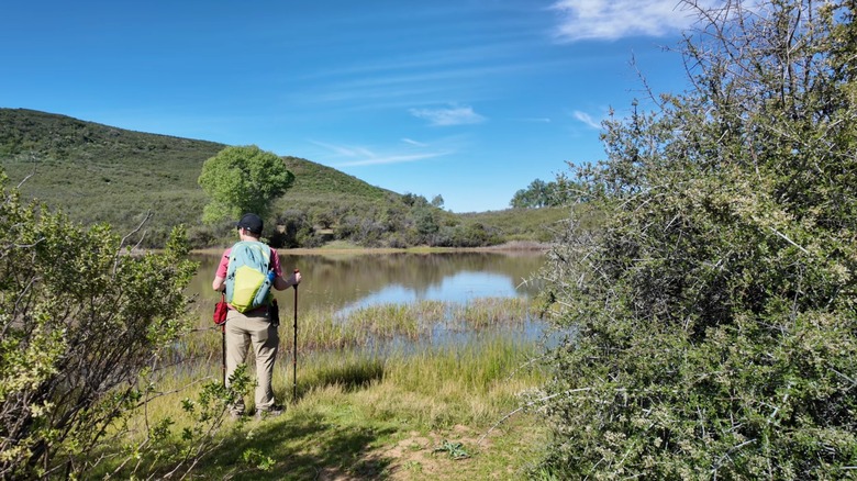
Cache Creek Canyon Regional Park and the surrounding hillsides are prime places to see wildflowers in Yolo County. For a chance to see the blooms, you'll want to be there in spring and spend time at the Lower Site. From there, you can access the Frog Pond Trail. It stretches 5 miles up into the hills on the west side of Cache Creek and to the pond that gives the trail its name. As for the pond itself, it gets its name from the plentiful population of frogs that live there. Some past hikers note that the trail lacks shade, can get overgrown, and may have downed trees, but you will get good views of Cache Creek.
The Blue Ridge Trail to Fiske Peak is another hike where you can see seasonal wildflowers. It's about an 8-mile out-and-back hike south from the Lower Site, and it takes you up more than 2,300 feet to the top of the mountain. If it's clear, you can see the Sierra Nevada and the surrounding forest.
The Blue Ridge Trail continues past Fiske Peak to form a 20-mile loop, but it's not as well maintained beyond Fiske Peak, with past hikers noting that it involves bushwhacking. Even the 8-mile out-and-back portion is a hard hike with steep sections, but the wildflowers and butterflies are definitely a payoff.
Camping at Cache Creek Canyon Regional Park
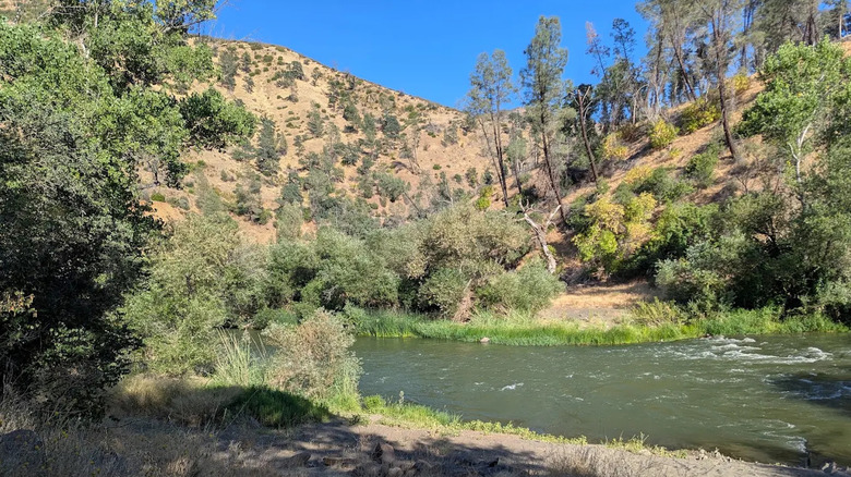
You can camp at the Middle Site of Cache Creek Canyon Regional Park. The camping is seasonal; the 2026 season runs from early April through mid-November, and it's not open on Mondays and Tuesdays. Reserve online ahead of time if you can, though you can take your chances with a walk-in. There are spaces for both RVs and car camping, with toilets and showers. It also has a playground and picnic tables. One past visitor on Google Reviews summed up what to expect: "The campground is clean and well maintained. Campsites are of adequate size, and most are shaded. The creek is gorgeous, great for tubing, and there are canyon vistas. Downside: Pretty noisy at night. Ants and lots of bees abound." It could be a good time to try out some of our bug-free camp hacks.
There are some important things to remember as you plan your trip. You are unlikely to find cell service here. There is no potable water available, including at the campsites. It does get hot here in the summer; it's not uncommon for temperatures to reach 100 degrees Fahrenheit during the day. Then you can expect near-freezing temperatures later in the fall and in early spring, so be prepared with the right gear.
If you don't want to camp, you can make Cache Creek a day trip from Sacramento, or you can stay at the nearby Wilbur Hot Springs, a rustic hot springs resort about a 25-minute drive away. Or hike to these California hot springs when you're done at the park for a relaxing finish to the trip. For more outdoor fun in the area, Clear Lake, California's largest natural lake, is about 40 minutes west of Cache Creek.