
One Of Maine's Largest Artificial Lakes Is A Secluded Escape With Mountain Vistas And A Sandy Swim Beach
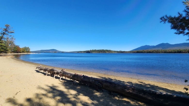
Maine's Mountains & Lakes region is shaped by several layers, starting with the chiseled perfection of a retreating glacier thousands of years ago. Of all the peaks and shorelines to consider in this mountainous, lake-filled landscape, Flagstaff Lake hides another sculpted piece of history: one about an ill-fated trip 250 years ago. Most people come back from Maine's mountains with a story about moose or fish. Here, visitors return with a story about American Revolutionary War general Benedict Arnold, too.
Flagstaff Lake is most easily accessed from Eustis, an easy two-and-a-half-hour drive from Portland. Once in Kingfield, a lovely little town full of outdoor splendors, Maine's High Peaks Scenic Byway begins. Keep an eye out about 11 miles south of Eustis for "Oh My Gosh Corner," where the first view of Sugarloaf Mountain peeks over the trees. You might see something else around this route: moose. It's one of the top moose-spotting sites in the state.
The scenery is all the more stunning with Maine being one of the East Coast states that banned billboards. Flagstaff Lake sits in the shadow of Bigelow Mountain, also at the intersection of the Appalachian Trail, the North Forest Canoe Trail, and the Great Carrying Place Trail. Before the Dead River was dammed, creating Flagstaff Lake, Benedict Arnold famously took this wilderness route in 1775 to seize Quebec. Arnold became part of the area's history when a flagstaff at what would become Flagstaff Village inspired the lake's name.
Views from shoreline to summits at Flagstaff Lake
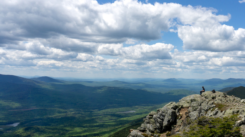
While there are plenty of views from the highway and shoreline of Flagstaff Lake through Eustis and Stratton, the best spots are tucked back into hidden coves. The border of the 17,380-acre lake is jagged, following the initial footprint of the Dead River then swelling into the surrounding landscape when Long Falls Dam was built in 1950. Much of this area is part of the Bigelow Preserve, which cradles the southern shore of the lake.
Bigelow Mountain's tallest peak is its West Peak at 4,150 feet, with the Appalachian Trail cutting across six other peaks along the way. Hikers earn those scenic viewpoints on a challenging trail that's nearly 13 miles: the Mount Bigelow via Appalachian Trail and Fire Warden Trail. Consider planning your Bigelow journey during the best time of year to hike the Appalachian Trail.
Hikers quickly see how Maine is America's most forested state relative to its size, with Bigelow Preserve being just one section of preserved land around the lake's borders. If the sky is clear enough, lucky peak baggers might even catch a glimpse of Mount Katahdin, Maine's highest peak, on the horizon. While the trail sits high above the massive lake, several smaller ponds along the route are worth exploring. Those who don't want to do that much hiking to earn a vista should head to Eustis Ridge Overlook, which is just 2 miles from the Cathedral Pines Campground.
Skip Maine's crowded coastal beaches for these mountain view getaways
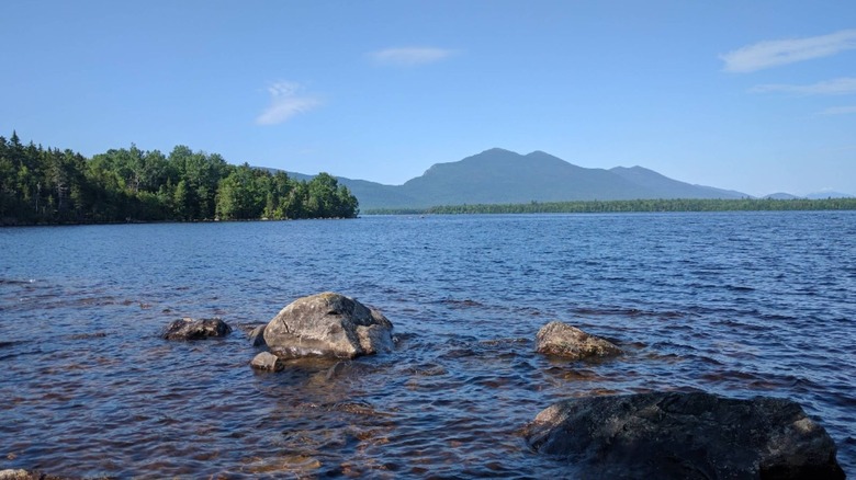
Mainers have a common saying when a tourist is asking to find a place deep in the wilderness: "You can't get there from here" (sounds much more like "You can't get theyah from heyah"). Once you start trying to find the beach spots around Flagstaff Lake, it starts to make sense. First, there are the logging roads. Those trucks don't slow down or stop. Give them the right of way. No paved road circles Flagstaff Lake, but access via Long Falls Dam Road, Flagstaff Road, East Flagstaff Road, and West Flagstaff Road leads to hidden gems.
Sticking close to the scenic byway, Cathedral Pines Campground hits the trifecta of towering red pines, sandy shoreline, and mountain views. The beach is free; camping is optional. The 2.5-mile road to get to Myers Lodge, which has no actual lodge, is a little bumpy. It was once the road into Flagstaff Village and now offers an idyllic beach area. Outside of Bigelow Preserve on the northeast side of the lake, Maine Huts offers a two-mile access trail to the beach.
Flagstaff Lake feeds the Dead River, which is an epic whitewater rafting adventure. Many rafters know the "Dead River Release Dates" by heart, focused in late spring. The "release" comes from Flagstaff Lake at Long Falls Dam. The lower water levels can mean more beach space, but also bring risks that paddlers need to watch for, including rocks and shallow areas.
The paddling adventure of a lifetime
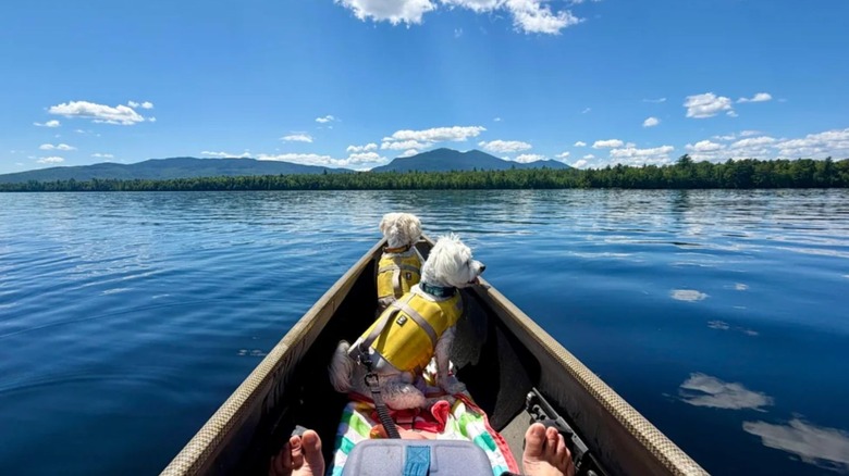
Flagstaff Lake sees ice-out around late April, and that means paddling season will soon begin. As a shallow lake about 18 feet deep on average, people start paddling in late spring through the end of summer. This brings the next reason Mainers might not give directions: the winds. The cusp of the Bigelow Range creates a wind buffer, which turns the open lake into a wind tunnel of sorts. Reflective glass waters in the morning can whip up waves later in the day without much notice. Plus, those Dead River release dates mean the Long Falls Dam area turns into fierce drain. Avoid the northeast corner of the lake during a release.
Two popular access spots for paddlers are off of Bog Brook Road at the southeast end of the lake, and at Long Falls Dam at the northeast portion. First timers should stick close to the shore. More experienced paddlers might seek out Hurricane Island on the northeastern side. Eustis and Stratton offer everything from paddle rentals to guided adventures.
To experience the grueling yet adventurous route Benedict Arnold took, now known as Arnold's March, explore the Great Carrying Place Portage Trail. It spans from Flagstaff Lake to the Kennebec River, the latter of which connects to The Forks, an underrated adventure destination that thrives with seasonal charm.