What Are The Squares You See On The Ground From Plane Windows?
You might find yourself bored during a flight even if you have your favorite tunes, good company, a page-turner of a book and pack things to make an ultra-long-haul flight more bearable. If you're lucky enough to be in a window seat when the boredom strikes, you can peer out to check out the land below you. However, doing so might make you realize that there's something interesting about many parts of the United States. Much of the land is divided up into uniform squares.
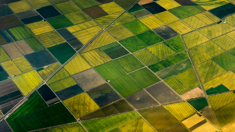
The reason for this can be attributed to the United States government. When assessing and selling the land to states and individuals as part of the Land Ordinance of 1785, the United States decided squares were the most efficient option. They created townships by dividing parcels into 6-mile-by-6-mile squares. Then, many of these larger squares were further divided and sold as smaller chunks measuring one mile on each side.
Many of these square parcels are owned by farmers. The various colors and appearances between squares can be attributed to different types of produce, crop rotation, and gardening styles. Additionally, the borders of the squares stand out from each other because roads were formed at the edges of properties. Ditches, fences, and various types of borders further created spaces between the parcels, creating lines and shapes easily visible from an airplane, but not so much on the ground. Kansas is one state that shows off the sold-off parcels really well, as many towns and farms are still formed based around these initial shapes. If you'd like to see one up close, check out the "friendliest small town in the US" that brims with Midwest hospitality.
Squares aren't the only strange shape you'll see from the sky
You won't find these squares everywhere. Places that settlers set up before 1785, like most of the East Coast, or areas the United States purchased later on, such as Louisiana, Wisconsin, and Texas, have layouts more reminiscent of what you'll find in other countries. That is to say — kind of chaotic and randomly shaped. Because the selling and developing of the US is fairly new compared to other countries, it was done in a more systematic way. Places like the United Kingdom have been built up, bought, and sold throughout the centuries, and therefore aren't as organized.
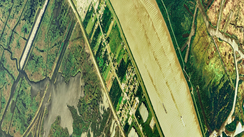
There are certain states where you won't see these squares as often. For example, states that were held by other countries longer than other states tend to have less of this structure. Louisiana, originally settled and sold by the French, has longer and skinnier chunks of land instead of even squares. These parcels, known as arpents, were all established along the rivers. There are many other pieces of evidence in the state to show the land was once owned by the French, including Louisiana's underrated "Petit Paris," which is a charming destination full of culture, history, and Bayou charm, but the view from the plane is an interesting way to recognize the state while traveling through the air.
Additionally, in certain parts of the United States, you'll come across circles instead of squares, or circles inside squares. This is because of an adjustment to how people farm. Known as center pivot irrigation, it's a farming method involving a large series of sprinklers going in a circle from a center pivot line.