America's 5 Stunning Great Lakes And How Deep They Are, According To Official Data
From our vantage point on the surface, a lake's most impressive features are its shoreline, surface area, and overall profile, but, while less evident (unless you're a scuba diver), a lake's depth may also contribute heavily to its superlative qualities. The United States is home to many notable deep lakes. For example, with a maximum depth of 1,949 feet, Oregon's stunning Crater Lake holds the title of America's deepest lake. Further east, however, North America's well-known Great Lakes have some impressive depths of their own.
For the millions of people who live around them, and the millions more who visit, America's five Great Lakes are significant not for their depth but for their role as both scenic outdoor havens and major hubs for transportation and industry. And yet, each Great Lake's respective depth plays a major role in things like ecology, shipping, infrastructure, recreational activities, and water quality. More interestingly, the five Great Lakes actually differ somewhat significantly when it comes to depth, ranging from a mere 210 feet to a formidable 1,333 feet. Using data from authoritative sources such as the U.S. Environmental Protection Agency and the National Oceanic and Atmospheric Administration, the following list ranks each of America's five Great Lakes from shallowest to deepest, with additional information on their overall dimensions, water volume, and major attractions that travelers may want to explore.
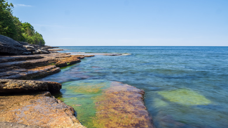
Lake Erie
Lake Erie, the southernmost of the Great Lakes, is the second-smallest by surface area. However, it is also the shallowest of the Great Lakes, and by a fairly considerable margin. Lake Erie's maximum depth is only 210 feet, more than 500 feet less than the second-shallowest Great Lake. This comparable lack of depth means that Lake Erie is actually the smallest Great Lake by total water volume, despite having only the second-smallest surface area.
Lake Erie's status as the shallowest Great Lake creates a few unique features, both good and ill. The lake's shallower waters mean that it is the warmest Great Lake on average, while, paradoxically, it also freezes over the most frequently in the winter. Without sufficient water depth, however, Lake Erie is unfortunately prone to pollution and environmental issues, given its heavily industrialized and urbanized shoreline. Lake Erie is also prone to toxic algae blooms, which cause significant accumulation of algae (usually feeding off phosphorus or nitrogen from agricultural runoff). This creates a phenomenon known as eutrophication, where oxygen-starved waters turn into ecological "dead zones."
Despite its small size, Lake Erie is arguably the most historically significant Great Lake, particularly for the major role it played in the War of 1812. And despite its ecological challenges, Lake Erie still hosts major urban areas and tourism destinations. Cities like Cleveland and Toledo in Ohio, Erie in Pennsylvania, and Buffalo in New York all feature lovely lakeside parks and recreation areas within a convenient urban setting. Lake Erie's shores also host several more low-key park settings, like Pennsylvania's Presque Isle State Park and Ohio's Marblehead Lighthouse State Park. The Lake Erie Islands, split between Ohio and Ontario, are consistently popular vacation destinations, with Ohio's South Bass Island being home to the "North's Key West" town of Put-In-Bay.
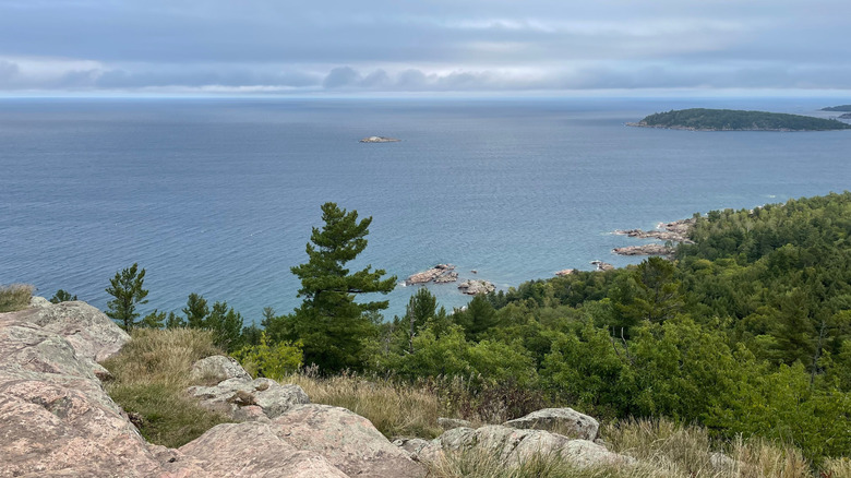
Lake Huron

Lake Huron ranking as the second-shallowest Great Lake may be somewhat surprising, at least when looking at a map. Lake Huron has a fairly large surface area compared to Lake Erie and Lake Ontario, covering about 23,000 square miles. This places it as the second-largest of all the Great Lakes by surface area, and the fourth-largest lake in the world. Even more remarkably, Lake Huron has the longest shoreline of any Great Lake (thanks in part to its sizable islands), measuring more than 3,800 miles. However, surface area and shoreline length do not necessarily correlate with depth, and Lake Huron is actually shallower than three of the other four Great Lakes. Lake Huron's average depth is about 195 feet, while its maximum depth is about 750 feet. Much deeper than Lake Erie, yes, but surprisingly behind the other Great Lakes. As a result, Lake Huron is only the third-largest Great Lake by water volume, despite having the second-largest surface area.
Depth aside, Lake Huron is a truly remarkable geographical treasure. Though it was the first Great Lake to be discovered by Europeans, Lake Huron has not experienced the level of industrialization and urbanization of some other Great Lakes. As a result, much of Lake Huron's shoreline remains pristine and forested, and features some of the most beautiful attractions in the Great Lakes region.
Lake Huron borders both Michigan's Lower and Upper Peninsulas, and near the convergence point of the two lies the memorable Mackinac Island, arguably Lake Huron's greatest treasure on the American side. Mackinac Island's small town charms, historic sites, and dedicated parklands have long made it one of America's top vacation destinations. On the Canadian side, Lake Huron is also home to Manitoulin Island, the largest freshwater island in the world.
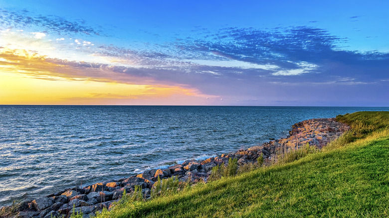
Lake Ontario
The humble Lake Ontario is perhaps the "little but fierce" Great Lake. On a two-dimensional map, Lake Ontario has the smallest surface area, measuring just 7,340 square miles. Yet that modest surface area hides surprising depths. Lake Ontario's average depth is about 283 feet, while its deepest point goes all the way down to 802 feet below the surface. This makes it considerably deeper than its western neighbor, Lake Erie, and even deeper than the much larger (by surface area) Lake Huron! Considerable depth also means that Lake Ontario holds around four times the water volume of Lake Erie, despite looking smaller when viewed side-by-side.
As the easternmost of the Great Lakes, Lake Ontario connects the water system of the other Great Lakes to the St. Lawrence River, and thus to the Atlantic Ocean. This prime geographic spot also makes Lake Ontario a critical transportation and infrastructure corridor in New York State and southern Ontario. On the Canadian side, Lake Ontario's biggest claim to fame is the city of Toronto. With a population of more than 3 million, Toronto is the largest city in the Great Lakes region and a major travel and transportation hub.
On the U.S. side, Lake Ontario's shores host the city of Rochester, New York. New York's Lake Ontario shoreline also features many top state attractions that tend to get drowned out by the grandeur of New York City. For example, about 45 miles east of Rochester sits the striking geological wonder of Chimney Bluffs State Park, with prominent earthen spires formed from eroded glacial till towering over the lake's shoreline. New York's Lake Ontario shore also includes historic attractions like the scenic Sodus Point Lighthouse and the Fort Ontario State Historic Site.
Lake Michigan
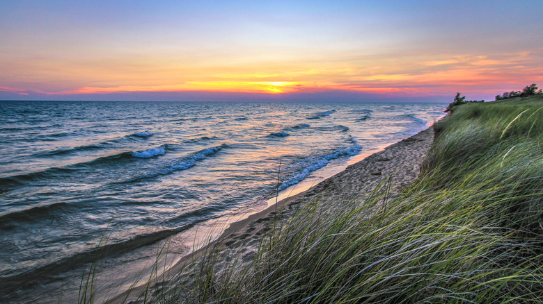
Lake Michigan's name originates from the Ojibwa term Michi Gami, which translates to "large lake," and although it is not the largest Great Lake, its dimensions are more than enough for that moniker. Lake Michigan's surface area measures about 22,300 square miles, placing it as the third-largest of the Great Lakes. As with other Great Lakes, though, surface area rankings do not necessarily correspond to depth rankings. Lake Michigan's average depth is about 279 feet, and its maximum depth is about 923 feet. This outranks both the smaller Lake Erie and Lake Ontario, and the larger (by surface area) Lake Huron. To make things more confusing, Lake Michigan's combination of depth and surface area makes it the second-largest Great Lake by water volume.
Dimensions aside, Lake Michigan is also notable for geographic reasons. Primarily, it's the only Great Lake whose length extends north-south, rather than east-west. Because the lake's only outflow is its relatively small junction with Lakes Superior and Huron at its northern end, it retains water much longer than other lakes.
More importantly for American geography, Lake Michigan is the only Great Lake entirely within the United States. Bordering the states of Indiana, Illinois, Wisconsin, and (yes) Michigan, Lake Michigan is a major maritime artery for the American Midwest, and a home to many of the region's largest cities. Most notable among these is the bustling city of Chicago, America's third-largest city overall and the second-largest city in the Great Lakes area. Further north, Lake Michigan is also home to Wisconsin's Milwaukee and Green Bay (via the lake's eponymous Green Bay). Lake Michigan also provides the U.S. National Park Service with some of its most beautiful lakeside parks, including Indiana Dunes National Park and Michigan's Sleeping Bear Dunes National Lakeshore.
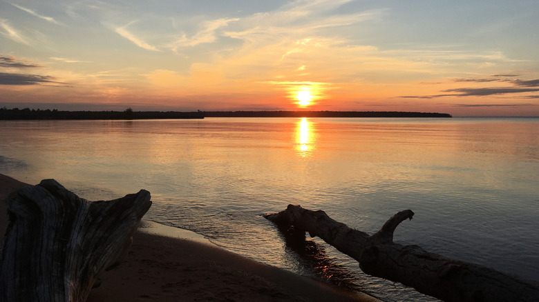
Lake Superior
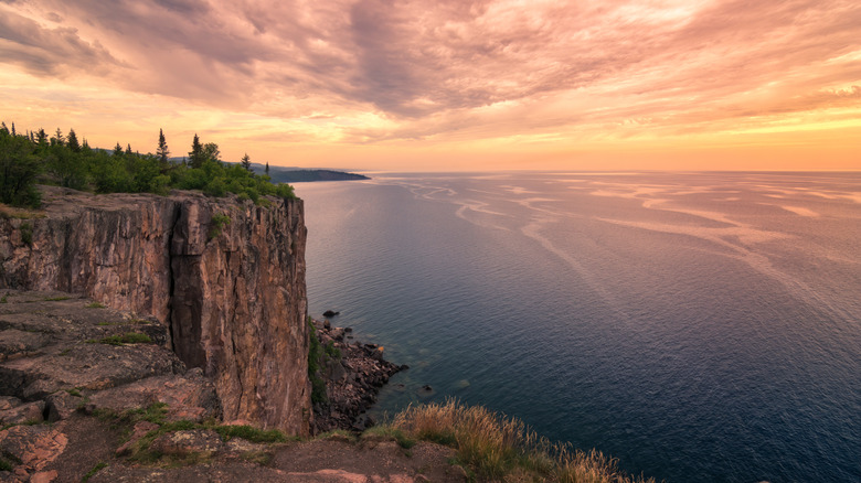
Apparently deciding to keep things simpler than its fellow Great Lakes, Lake Superior is consistent with its rankings in depth, surface area, and water volume. True to its aggrandized name, Lake Superior ranks number one in all three categories. For once, the lake's impressive depth matches its equally impressive surface area. Lake Superior has an average depth of 483 feet, making it the deepest of the Great Lakes. Even more astoundingly, Lake Superior is the only Great Lake with a maximum depth that exceeds 1,000 feet — specifically descending to 1,332 feet below the surface. Covering 31,700 square miles, Lake Superior not only has the largest surface area of any Great Lake, but it also ranks as the largest freshwater lake in the world by surface area. With unmatched depth and surface area, Lake Superior obviously has the largest total water volume of any Great Lake as well. By some measurements, Lake Superior holds 10% of the total freshwater on the planet.
As the northernmost of the Great Lakes, Lake Superior has fewer urban areas, industrial centers, and infrastructural developments than places like Lake Erie or Lake Michigan. Not that the lake is devoid of any urban areas. Prominent cities along Lake Superior's shores include Duluth, Minnesota, on the American side, and Thunder Bay, Ontario, on the Canadian side. Lake Superior also straddles the northern side of Michigan's Upper Peninsula, housing unique UP travel hubs like Marquette.
However, Lake Superior's extensive shoreline and relative lack of development do provide it with an abundance of exceptional national and state parks. On the American side, hikers can find countless scenic trails with unbelievable Lake Superior views, including trails through breathtaking public lands like Isle Royale National Park, Pictured Rocks National Lakeshore, and Apostle Islands National Lakeshore.
Methodology
The good thing about ranking the North American Great Lakes by depth is that there's no real paucity of reliable public data to draw from. The Great Lakes are not merely scenic wonders or settings for water recreation away from North America's coastlines. They are also extremely important hubs for transportation, energy transmission, and logistics in the United States and Canada. Both countries, along with countless private companies and nonprofits, have a strong incentive to get the most accurate data possible on the Great Lakes. Since a lake's specific depth plays a major role in shipping routes, water quality, and other variables, the respective depth of each Great Lake has been a major subject of bi-national investigation for well over a century.
The most comprehensive information on Great Lake depths comes from the Great Lakes Bathymetry data. Gates Lakes Bathymetry is a cooperative project between the United States and Canada to ascertain exact measurements of Great Lakes depths. The project draws from over 100 years of scientific data from the U.S. Army Corps of Engineers, the National Oceanic and Atmospheric Administration's (NOAA) National Ocean Service, and the Canadian Hydrographic Service (among others). Much of the accumulated Great Lakes data is publicly available via NOAA's National Centers for Environmental Information. Other relevant Great Lakes data comes from additional government agencies, such as the United States Environmental Protection Agency and the International Joint Commission (a joint U.S.-Canadian agency that oversees bodies of water shared by the two countries).