
North Carolina's High Elevation Hike Is A Blue Ridge Mountain Adventure With Unbelievable Views
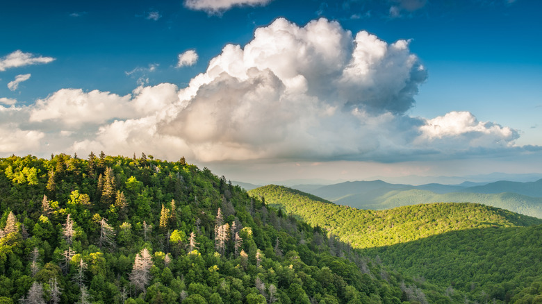
You could drive up to the summit of Mount Mitchell – the highest peak east of the Mississippi River — if you want to get there fast. But, if you have the time and the physical stamina and the desire to take on a challenge, you can also get there by trekking up the Black Mountain Crest Trail, a high-elevation hike in Pisgah National Forest with unbelievable views over the surrounding Blue Ridge Mountains.
The 12-mile trail is legendary, in part, for its difficulty. With a total elevation change of 3,485 feet, it's steep and challenging to navigate on some sections, and it takes ten hours or more to complete the one-way hike. No wonder some people call it "the death march," and others claim it's the "toughest trail on the East Coast."
There's a small parking area beside the Forest Service gate at the trailhead, which is located off Bolens Creek Road. From there, the trail leads across the creek, then climbs up a rocky incline to the top of Celo Knob (elevation 6,327 feet). It's the first of several towering peaks you'll cross on the strenuous adventure: the trail continues up (and down) a succession of mountains that are at least 6,000 feet high, including Potato Hill, Deer Mountain, Cattail Peak, and Balsam Cone.
Hike the challenging Black Mountain Crest Trail
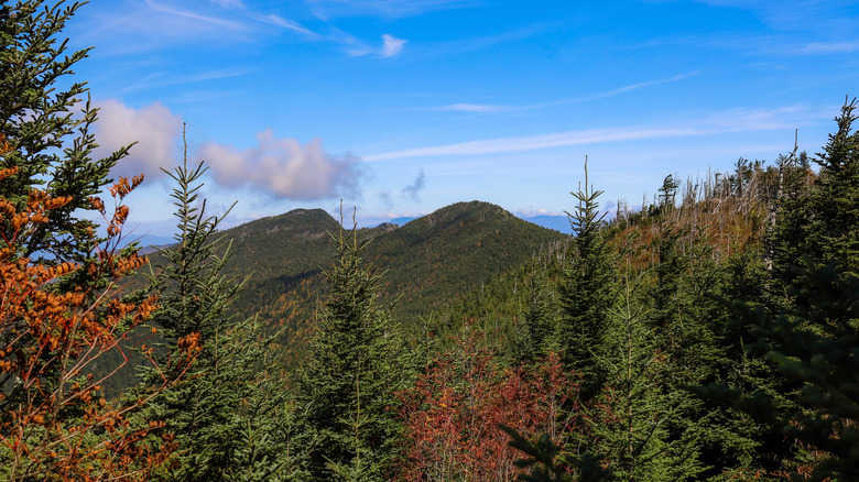
The spectacular views from the hiking trail, many outdoor adventurers say, are what make the trip so special. The journey begins at Bolen's Creek in Burnsville, a mountain getaway known as "the hiking capital of western North Carolina," before winding through lush forest and quiet fields, and then climbing up to sweeping lookout points over the surrounding cliffs and mountains.
According to one hiker who wrote extensively about her experience, the hardest section of the hike — midway along the journey, when the trail crosses Cattail Peak, Balsam Cone, and Mount Craig — is also the most picturesque. Many recent hikers commented on the scenic views on AllTrails, too. One said the panoramic views from Big Tom were fantastic, and another wrote about the gorgeous alpine atmosphere along the snow-covered trail in winter.
Some of the best views along the trail, it's worth noting, come at the end. Black Mountain Crest Trail ends at Mount Mitchell (elevation 6,684 feet), the highest peak in the eastern U.S. At its summit is an observation deck with 360-degree views over the Blue Ridge Mountains, and there's an inviting picnic area with tables and grills where hikers can enjoy an open-air lunch while taking in the stunning natural surroundings.
While it's possible to complete the hike in a single day, some hikers break the journey in Deep Gap, where primitive camping is permitted. There's also seasonal tent camping near the end of the trail in Mount Mitchell State Park, and reservations are required. The starting point of the hike (in Burnsville) is about a 40-minute drive from Asheville, while the end point (at Mount Mitchell) is about an hour away from the city's historic downtown, full of great shops and food options, a great place to pick up picnic supplies.