
Tucked Between Sacramento And Santa Rosa Is A Pretty Wildlife Haven With Rolling Hills, Creek Views, And Trails
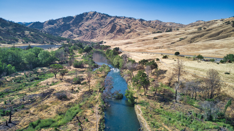
If you happen to find yourself traveling between the big city of Sacramento and the Sonoma County wine town of Santa Rosa, then you should know that there's an alluring hub for animal spotting and outdoor recreation tucked somewhere along the way. It comes in the form of the Putah Creek Wildlife Area, a spread of over 670 acres of land that rolls across oak woods, the peaks and troughs of classic Californian chaparral hills, and some gurgling creeks on the south side of State Route 128.
Pitstop at the parking pull outs that line the west side of the highway to begin your adventure. They pave the way into a reserve that scores an impressive 4.6 out of 5 on Google, where one past visitor raves about the pretty backcountry and views: "Very peaceful and amazing scenery! I would strongly suggest taking a day out here and just enjoy the fresh air and beautiful sights they have to offer!" Within, you can hoof it on a web of tempting hiking routes, can clamber up to viewpoints with panoramas that encompass mountains and lakes, and even have the chance to spot creatures as diverse as beavers and mountain lions.
The Putah Creek Wildlife Area is sandwiched between Sacramento, which sits to the east, and Santa Rosa, which sits to the west. However, it's a touch closer to the sprawl — and major international airport — of Sacramento, from where the drive is likely to be around 45 minutes. From Santa Rosa, you're looking at a trip of nearer 1.5 hours, taking the winding 128 highway as it passes through the charming small town of Calistoga and St. Helena, the heart of California's Napa Valley wine country.
Keep watch for local critters at the Putah Creek Wildlife Area
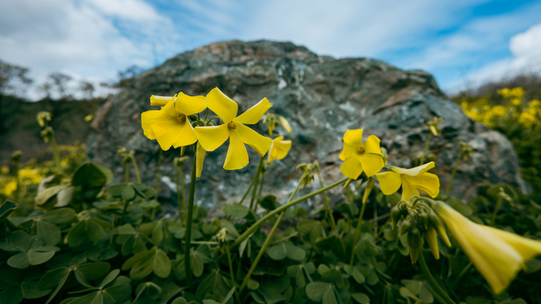
The clue's in the name here, folks: Putah Creek is a haven for spotting native fauna and flora. The state's Department of Fish and Wildlife lists wildlife viewing first among the activities on offer in the park, pointing out that this cut-out of Northern California has been a wildlife reserve since 1981.
The waters of Putah Creek that meander alongside the highway on the northern fringes of the area are well known for hosting a range of intriguing critters. Among them, the North American river otter, with their webbed feet and streamlined bodies, and the great blue heron, the largest of its kind on the continent, not to mention weird and wonderful plant life like the bright orange sticky monkey-flower. There's fishing access beside the highway on the northwest side of the reserve, which should help you get nice and close to the water for potential sightings of all the above.
No luck on your Putah Creek safari? Don't fear, for there's plenty more in the surrounding area. Head just 15 minutes west to find yourself at the Wragg Ridge Preserve, a world of highland oak forests above Lake Berryessa that hosts a certain type of endangered red-legged frog. You could also swim, hike, and camp at Lake Berryessa itself. That vast body of water measures over 20 miles from top to bottom, and has thousands of acres of protected wildlife sanctuary stringing along its eastern shoreline.
Hiking your way through the Putah Creek Wildlife Area
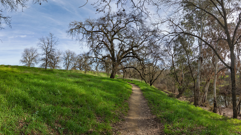
Just one glance at the map shows that there aren't any scenic byways or roads weaving their way through the Putah Creek Wildlife Area beyond the 128 that skirts its northern edge. That means hitting the trails is likely to be your best bet for exploring these parts. The good news is that there are two marked routes on the hike tracking app AllTrails, with the top-rated being the Homestead to Blue Ridge Loop.
With over 1,400 feet of elevation gain across its 5 mile length, it's certainly no proverbial walk in the park, though the circular path does offer quite the journey, knitting together a riverside section south of the main parking area and a high ridge that has sweeping views. According to a trail report on the outdoors community website The Outbound, it begins alongside a creek where you can splash water on your face, before delving into woodlands, and then sharply ascending to a summit where you gain those spectacular vistas.
The avid hikers who run the blog NorCalHiker.com highlight yet another path that's not listed on AllTrails. Cue Pleasants Ridge, which they dub as one of the steepest routes around the laid-back college city of Davis. It's not for the faint of heart, with slippery, scrambling sections that go through dense Californian bush, so be sure to check trail conditions ahead of time, and only go this way if you know exactly what you're doing.