
This Stretch Of 'California's Most Scenic Drive' Through The Sierra Nevadas Is Lined With Lake Views And Campsites
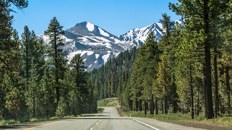
Competition for the title of "California's most scenic drive" is stiff. Many mesmerizing road trips can be taken throughout the state, like those along the Pacific Coast and Redwood Highways. But when a stretch of asphalt passes by dreamy destinations like Yosemite, along with dozens of alpine lakes, and some of the tallest mountain peaks on the continent, it earns big-time bragging rights. Highway 395, dubbed the Eastern Sierra Scenic Byway, is touted by travelers and journalists alike as a bucket-list-worthy journey, most recently by HGTV.
While the full length of Highway 395 runs between Hesperia, California, and the Canadian border, the California portion of Highway 395 alone travels by both the highest and lowest points in the contiguous 48 states: Mount Whitney and Death Valley. However, the Eastern Sierra Scenic Byway specifically stretches the 133 miles from Bishop, California, to the intersection of State Route 89 outside of Lake Tahoe.
Having traveled this road many times while living near Lake Tahoe and occasionally working in Mammoth, I can confirm that it is one of the most spectacular and awe-inspiring drives I've ever been on, anywhere. You journey through lush forests, verdant valleys, and chiseled, snow-tipped mountains soaring more than 10,000 feet skyward. Quick excursions off the byway bring you to a historic ghost town, steaming hot springs, and breathtakingly blue lakes. Camp in one of several sublime settings along the way and drift to sleep under the seemingly endless jewel box of stars overhead.
Eastern Sierra Scenic Byway, heading south
To embark on this scenery-rich road trip from its northern end, drive about 73 miles south from the Reno-Tahoe International Airport (RNO) to the junction of State Route 89 and US-395 near the town of Topaz. Or, if you're coming from Southern California, it's a 4.5-hour drive to the route's southern end in Bishop from Los Angeles International (LAX). In summer and winter, direct flights are available into Bishop Airport from San Francisco and Denver.
I'll guide you through the north-to-south route here. Starting from the SR-89 junction in Topaz, head south to prehistoric Mono Lake. If desired, make a 45-minute detour (part of which is dirt) to Bodie State Historic Park, a once-thriving mining town that's now an abandoned beauty. East of Yosemite, Mono Lake's tufa spires twist skyward from the landscape surrounding the ancient remnant of a vast body of water once covering the region. This mesmerizing lake is considered one of the most dangerous in California due to its high levels of salinity and arsenic, but is fascinating to behold. Mountains in the distance hint at the geologic wonders contained within Yosemite on the other side of the range, with sculpted peaks visible to the west.
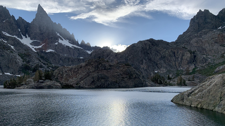
After stretching your legs at Mono Lake, continue south to an area rife with alpine pools. In my opinion, Mammoth Lakes Basin and the Minarets, the spear-shaped peaks surrounding the area, make up some of the most spectacular sights in the whole state. These spires tower high above exquisite spots along the byway, like Convict and Crowley Lakes. You may want to set up camp at one of the dozen-plus campgrounds around Mammoth Lakes and soak in the relaxing nearby pools of Benton Hot Springs before heading onward to the final stop, Bishop.
Best times to travel the scenic byway and where to camp
Traveling the scenic byway during the winter months brings a whole other level of tranquility and beauty to the scenery, but make sure to check road conditions before setting off. Also, prepare for the trek with snow tires or chains and blankets in case adverse weather strikes. I once drove it in a blizzard out of professional necessity; it was treacherous at best, and I wouldn't do it again.
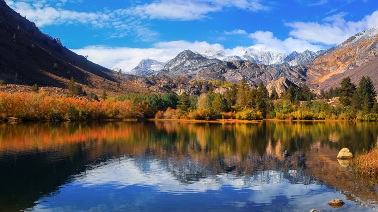
This stretch is positively radiant in autumn, especially around June Lake where you'll find California's scenic lake loop with turquoise water in its center. Fall foliage erupts in every fathomable shade of orange, gold, and rust from the abundant aspens, willows, and other trees along the route. Summer and spring are also spectacular as creeks and rivers flow with snowmelt, while wildflowers and lush greenery carpet the valleys.
Where the route passes between Inyo and Mono Counties, 160 developed campgrounds beckon overnight guests. Beyond those, dispersed camping — boondocking in areas outside of the developed campgrounds — can also be found lakeside or in other areas along the byway. A great resource for camping along the byway is Camp Like a Pro, which provides resources, tips, and maps to campgrounds, plus areas to spend the night outside official sites in California's Eastern Sierra.