
One Of Sierra Nevada's Most Scenic Hikes Is A National Park Favorite With A Chain Of Crystal-Clear Alpine Lakes
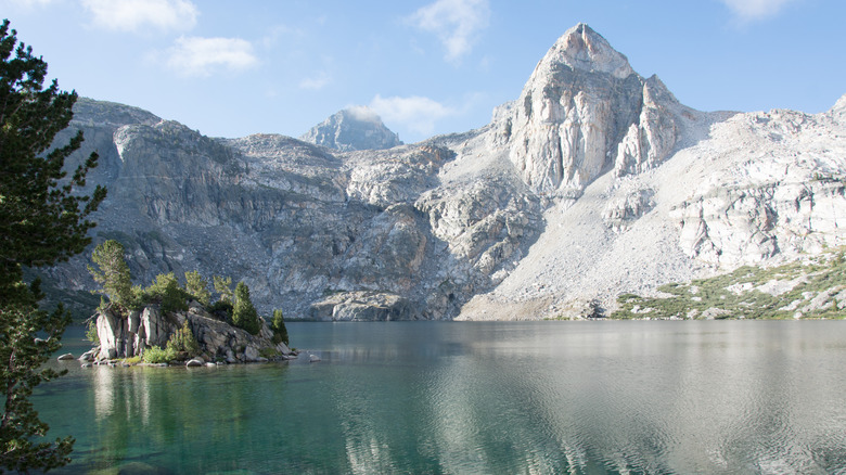
Deep in Sequoia Kings Canyon National Park (SEKI), the 41.4-mile Rae Lakes Loop is a classic California backpacking trip, with all of the sights and sensations the Sierra High Country has to offer, all rolled into a challenging, yet manageable and beginner-friendly, hiking excursion. Usually accomplished in three to four days, it's the perfect length to serve as the high point of a week-long vacation in the Sierra. Unlike one-way treks like the wildly popular 211-mile John Muir Trail, which partially overlaps this hike, the Rae Lakes Loop requires no transportation logistics, making it a good choice for solo travelers, as no two-car shuttle is needed.
On this trail you'll ford a rushing river, clamber over a swinging suspension bridge, feel the mist of waterfalls on your face, and wander beside multiple blissfully serene alpine lakes. You'll climb from 5,000 feet of elevation to just under 12,000 feet, and depending on the time of year, you may even set foot on lingering snow. Along the way, you'll hike portions of the John Muir and Pacific Crest Trails.
For this hike, just getting there is part of the fun. If you're starting at the popular Road's End trailhead, the last 23 miles of your journey by car is along the Kings Canyon National Scenic Byway, one of California's scenic roads that goes deep into a breathtaking canyon. Alternatively, the Kearsarge Pass trailhead is an easy point of entry if you're coming from Southern California, as it's a straight shot 240 miles up US-395, a stretch of road called "California's most scenic drive." Either route gives you a taste of the stunning wilderness scenery.
Logistics for hiking the Rae Lakes Loop
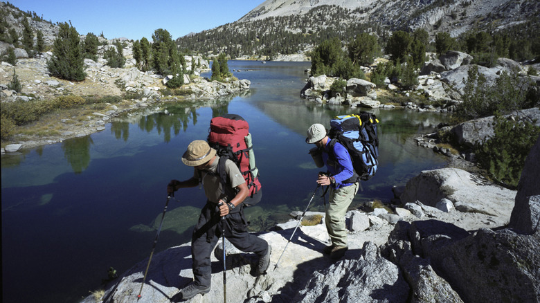
You can begin Rae Lakes Loop at different points, but the most common is Road's End. If you're flying in to do this hike, you can skip the crowds and headaches of the Bay Area airports by flying into Sacramento International Airport, ranked number one in America for stress-free travel. It's almost the same distance (around 270 miles) as SFO or Oakland airports but avoids the Bay Area's traffic. Alternatively, to extend your hike to 54 miles, you can begin and end at Kearsarge Pass instead, for a lollipop loop hike.
In prime season, between May and September, wilderness permits are necessary and reservations fill up fast, but you can always check the website for cancellations. A limited number of walk-up permits are sometimes available, too. You will need to carry all your food and toiletries in a hard-sided bear canister, but if you don't own one they can be rented from the Sequoia Parks Conservancy, which operates out of several ranger stations, including the one at Road's End. You'll also need to register for a free campfire permit if you plan on bringing any kind of backpacking stove.
While the hiking season begins as early as May, trail conditions aren't really suitable for completing the entire loop until mid-summer. The fast-flowing Kings River must be forded, and it isn't generally safe to do so until late June, when the springtime run-off has abated. The trail's highest point, Glen Pass, can be impassable until well into July. As a bonus, waiting until August or September will also put you well past mosquito season.
What it's like to hike the Rae Lakes Loop
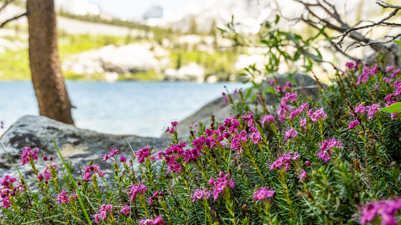
While it's possible to power through this trek in as little as three days, stretching it out longer lets you revel in the scenery. Stopping early gives you the best choice of campsites and leaves you plenty of sunny daylight hours for swimming, relaxing, or even fishing for trout. Throwing an ultralight hammock into your backpack can really make for some pleasant afternoons lounging by the lake.
Hikers endlessly debate the relative merits of traveling clockwise or counterclockwise. Most go clockwise, leading to gentler uphill grades, helpful if you're adjusting to altitude, but counterclockwise has the benefit to getting the highest pass over with earlier, and advocates of this approach say the lake views as you hike are superior. Whichever you choose, you'll gain over 7,600 feet in elevation.
Traveling clockwise, you'll walk alongside the Kings River to Mist Falls, cascading over cool, smooth granite. Then, you'll ford the river and slowly ascend to the first of the alpine lakes you'll encounter, some large and named, like Dollar and Arrowhead Lake, and others that are small and sequin-like. If you've budgeted enough time, you can leave your gear at camp and make side trips to even more secluded and spectacular lakes, like Dragon Lake, surrounded by greenery and ringed by stark granite peaks. The Rae Lakes themselves are an interconnected chain of deep blue bodies of water. Eventually, you'll climb to the hike's highest point, Glen Pass, at just under 12,000 feet. Be sure, as you make the ascent, to pause often to turn around and take in the ever-more-magnificent views of the lakes.