
The 'World's Longest Coastal Path' Is A Scenic Journey Around England With Cliffs, Beaches, And Historic Towns
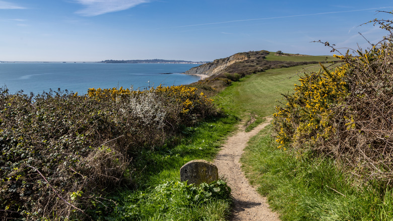
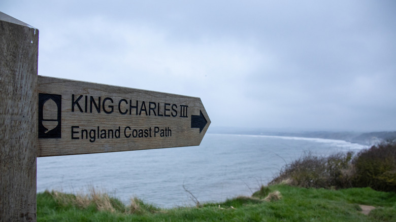
From the Hadrian's Wall Path that extends from coast to coast to the Cotswold Way, which takes you through the beautiful southwestern countryside, England has some fantastic trails to explore. And now, you can take a waymarked path around the entire country. In March 2026, the King Charles III England Coast Path was inaugurated by the monarch himself. It spans nearly 2,700 miles — making it the "world's longest coastal path," via BBC. When finished, it will run along the entirety of the English coastline and give the public access to certain places that had once been private. This path takes you through some of England's most incredible natural scenery — along famous cliffs and beaches as well as through idyllic villages and cities with lots of rich history.
This path doesn't reach into the rest of the United Kingdom, but it comes close. The longest stretch of the route will run from Berwick-upon-Tweed, in the northeast near the Scottish border, all the way south, west, and back north again to Severn Bridge, which links England to Wales. The trail stops at the bridge and picks up again in the northwest near Chester. It then continues north until just before Gretna in Scotland.
It took almost two decades to put everything into place. Parts of the existing 1,700 miles of trails had to be improved and linked up with the 1,000 miles of new pathway. There are still some portions to be finished; however, the work is expected to be mostly completed by the end of 2026. In a press release issued for the inauguration of the trail, Tony Juniper, Chair of Natural England, said the path "will reconnect people with the land, support nature recovery, and create a more inclusive, sustainable future."
From the northeast down to the southern coast via the King Charles III England Coast Path
The trail is organized by region into eight different sections. Each one has its own appeal and highlights. In the northeast, there's Longsands Beach, a wide, half-mile-long stretch of sandy beach near Tynemouth, a popular surfing destination. Farther south, you'll come to Robin Hood's Bay, a coastal village inside the North York Moors National Park. It has charming cobblestone streets and a picturesque beach, and it's been inhabited for hundreds of years.
The East Anglia section leads you just outside of London. It also lets people access portions of the coast that were previously inaccessible, including places like the Deben Estuary, where you'll see some of the region's salt marshes. It's a particularly special route for birdwatchers, as several species overwinter in this area. Along the southeast section, you'll find beautiful precipices towering above the English Channel, including the renowned White Cliffs of Dover as well as the less developed yet still iconic Seven Sisters. They're located in the South Downs National Park, known as the "gateway to England" featuring windswept cliffs and ancient forests. It also takes you through Hastings, around 7 miles from the site of the 1066 Battle of Hastings, where William the Conqueror defeated King Harold II, took control of England, and changed the trajectory of history. The southeast section also runs through the vibrant seaside resort city of Brighton with its historic Brighton Palace Pier and Royal Pavilion & Garden.
The southern section runs from Brighton to Barton-on-Sea as well as around the Isle of Wight. One notable sight along the way is Portchester Castle. Situated in Portsmouth Harbour, the site was originally established as a fortification by the Romans in the 3rd century. A palace was later built here in the late 1300s for Richard II.
Exploring the western side of the island on the King Charles III England Coast Path
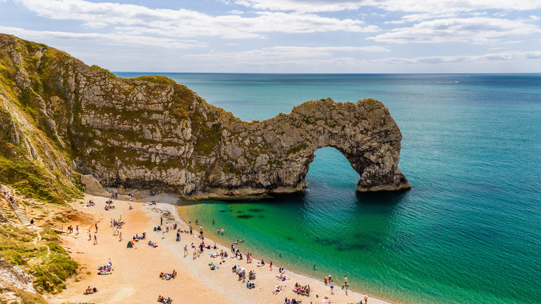
The southwest section of the path along the Coast Channel has some of the most dramatic changes in elevation. It runs through Dorset's Jurassic Coast, a beautiful shoreline that belongs on any history and fossil lover's bucket list. It features striking cliffs and rock formations, including Durdle Door. You can take a side hike down to the pebble beach at the base of cliffs to this well-known limestone arch.
Once you turn the corner, heading along the Atlantic and into the Bristol Channel, there are lovely places like Berrow. This small village has a 7-mile-long beach and a medieval church. Moving north to Clevedon, you'll find a pier dating back to 1869. Keep an eye on the water; you may spot dolphins and porpoises out in the channel. Continuing along the Welsh border on the northwest section, you'll find seaside towns like Southport, a popular spot for seawater bathing in the late 1700s. The area has some postcard-worthy shores, including Crosby Beach, where you can find Antony Gormley's "Another Place" art installation — it features 100 cast-iron sculptures near the water's edge. As you continue north, you'll get to the Solway Coast. Tracing the edge of Scotland, this remote region offers wide expanses of salt marsh, cliffs, and sand dunes.
To add on another trek to your journey around England, there's the 870-mile-long Wales Coast Path, the trail surrounding this underrated country's breathtaking shoreline. While there's no official route that fully circumnavigates Scotland, much of its land is open to the public. So, with the establishment of the King Charles III England Coast Path, you can make your way around the entire island of Great Britain.