
America's Largest National Forest In The Lower 48 Is A Giant Alpine Gem Between Lake Tahoe And Las Vegas
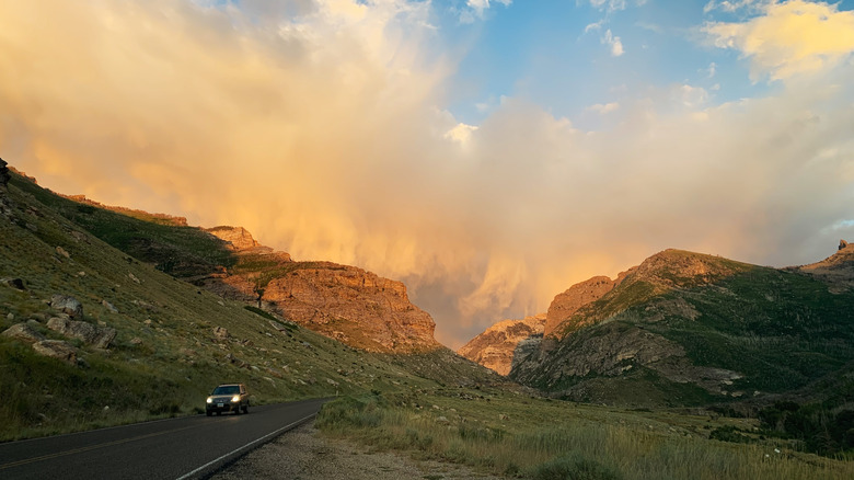
At 6.3 million acres, Humboldt Toiyabe National Forest is the largest in the continental U.S. (only Tongass and Chugach in Alaska are larger). It is not one contiguous forest, but rather an archipelago of scattered forests — 29 in total — divided into seven administrative units (e.g. ranger districts) and 18 designated wilderness areas, stretching from the California Sierra in the west, to Las Vegas in the south, and all the way to the Oregon and Idaho borders in the north. These many scattered forest environments are reminiscent of Arizona's equally scattered "sky Island" mountain ranges. You could even think of Humboldt Toiyabe's many districts as islands of forest.
All together, the forest has 56 campgrounds, not counting the abundant wilderness camping opportunities, and over 2,000 miles of hiking trails. These range from segments of the magnificent Tahoe Rim Trail, which follows the mountain ridge lines circling Lake Tahoe, to breathtaking trails in the Spring Mountains overlooking Las Vegas, to rugged, remote backpacking trips through the Ruby Mountains Wilderness near Elko.
It's hard to imagine the scale of this forest. One of its most popular trailheads, Cathedral Rock, is less than an hour from the Las Vegas Strip. But hop in the car and head for the remote Jarbridge Wilderness and you'll be behind the wheel driving north for 8.5 hours. That should give you some indication of how spread out this national forest really is.
Exploring Humboldt Toiyabe National Forest from Las Vegas and Lake Tahoe
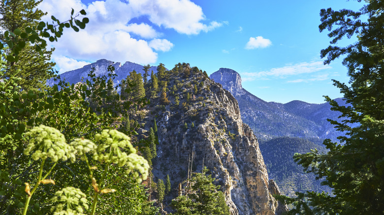
Squint your eyes to see beyond the dazzling lights of the Las Vegas Strip, and you'll notice a majestic mountain range presiding over the western horizon. That's the Spring Mountain Range, dominated by snow-capped Mount Charleston, a serene and breathtaking escape from Las Vegas. The Spring Mountains National Recreation Area is one of Humboldt Toiyabe National Forest's prime showpieces, a hiker's dream in summer, and a thriving ski zone in winter. The most popular hike is the stunning 3-mile Cathedral Rock Trail, steep but rewarding, with a colorful display of aspens peaking in fall. This is a well-maintained trail with benches at the top for contemplating the panoramic views.
On the western side of the Spring Mountain Range, the Bristlecone Trail is a 6.3-mile loop that climbs between patches of snow to reach stands of gnarled, silvery Bristlecone pines, among the oldest trees in the world. These trees only grow at high altitudes in California, Nevada, and Utah, with some living to be over 5,000 years old.
The Humboldt Toiyabe National Forest's Carson Ranger District crosses California and Nevada in the area surrounding Lake Tahoe. Here parts of the Pacific Crest Trail and the 170-mile Tahoe Rim Trail pass through the district, including the section of the latter that includes Galena Falls, one of Nevada's most beautiful waterfalls. You can also reach the falls as a day hike of just under 5 miles. Above the tree line much of the way, it includes fantastic views. Elsewhere on the trail you have views of lapis-blue Lake Tahoe below, framed by jagged stands of emerald conifers.
Exploring other areas of the Humboldt Toiyabe National Forest
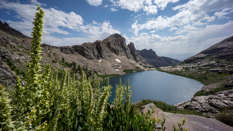
Northern Nevada harbors some of Humboldt Toiyabe's hidden treasures. Lamoille Canyon, aka "Nevada's Yosemite," is an under-visited gem in the Ruby Mountains Wilderness, with a stunning scenic drive and high-altitude hiking trails that will take your breath away in more ways than one. Glistening alpine lakes nestled between peaks above the tree line make this place a hiker's paradise. The Ruby Crest National Recreation Trail traverses 40 miles of scenery, including lakes and waterfalls, to reach Lamoille Canyon. Broken into four days, it's an epic summer trek or an ultra-adventurous cross-country ski trip in winter. However, you don't have to get out of the car to drink in the views, as the Lamoille Canyon Scenic Byway open May through October, gives you access to viewpoints, campgrounds, and wildlife sightings, including elk and bighorn sheep.
Near the Idaho border is the Jarbridge Wilderness, one of America's most remote areas, which Travel Nevada describes as "equal parts mystery and grandeur." It includes a variety of landscapes, like the deep Jarbridge Canyon, which you can tackle on the 26-mile East Fork Jarbridge River Trail. A drive through the wilderness' wide Copper Basin in June or July yields wildflower viewing in meadows and bogs.
On the California side, along Highway 365, between Tahoe and Yosemite, you'll find the gorgeous and under-visited Virginia Lakes Basin, a high-elevation paradise for fishing and hiking, where the clear waters teem with stocked and natural trout. Nearby you'll find the wild, natural Buckeye Hot Springs, a series of rock-formed pools beside a babbling creek, where you can soak surrounded by snow-capped Sierra peaks. The icy creek lets you indulge in a bracing cold plunge between hot soaks.