
This Long, Winding River Spanning Much Of Wales Is A Fishing Paradise With Charming Towns And Trails
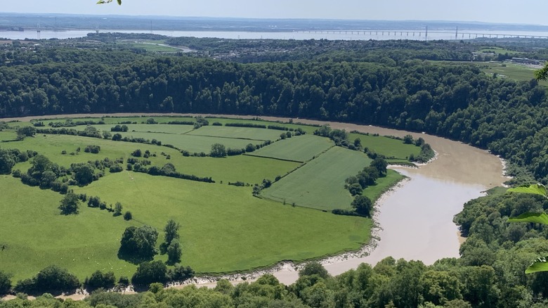
The U.K.'s fourth-longest river, the River Wye, stretches for 155 miles, from the mountains in central Wales to the Severn Estuary. Although a portion of the river lies across the border in England, the vast majority of the Wye is found in Wales. As the river winds its way southeast to the coast, it passes numerous quaint villages and towns, is bounded by numerous trails, and famously provides angling opportunities for fishermen along its length.
The Wye begins its journey in the Cambrian Mountains just west of Hafren Forest, which is known for trails that are breathtaking in every season. A few miles south, it begins to roughly follow the A44 highway. In the village of Llangurig, which offers multiple access points for anglers fishing for trout, the river cuts south along the A470, which it follows all the way to the town of Rhayader. National Cycle Route 81 also follows the river's path for most of the section between the two towns. In Rhayader, visitors can enjoy exploring the Riverside Wildlife Walk, fishing in the river, kayaking, or hiking one of the numerous trails found in what is known as the "outdoors capital of Wales."
The river continues to mostly mirror the highway's route to the town of Newbridge on Wye. This village, which is situated on the eastern bank of the river, is home to a number of historic sites, including the All Saints Church, which dates back to 1883. The Pentref Baptist Church is another historical point of interest for many visitors, as is the drover's statue.
The River Wye winds through Wales and into England
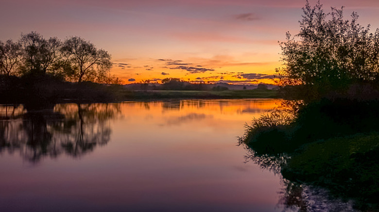
South of Newbridge, the River Wye moves away from the roadway and winds around the outside of Cors y Lyn National Nature Reserve, where visitors will find trails but, unfortunately, none that lead to the river. The river again meets up with the A470 and follows it through the village of Builth Wells. Upstream of the village, anglers will find a stretch of catch-and-release waters, with good bank and access for trout and grayling fishing. In town, visitors will find that this historic market town is filled with landmarks, attractions, restaurants, and pubs. Additionally, the 6.5-mile Builth Wells, Garth Hill, and Neuadd-Isaf Circular trail begins at a riverside park in town before looping through the surrounding countryside.
Leaving Builth Wells, the river continues to follow the A470, then the A438 to the northeast and to the "world's first book town," Hay on Wye. As it winds its way to Hay, the river moves past a few castles, including Lowes Castle Tump and Hay Castle, which offers guided tours. In Hay, visitors will also find a myriad of bookstores, along with restaurants, pubs, and attractions. Walking along the river's banks, canoeing in the river, or hiking through the northeast portion of Bannau Brycheiniog National Park are a few options for those who wish to spend their time outside.
After the river exits the village of Hay, it begins to form the boundary between Wales and England before turning sharply east and winding along the southwestern English countryside. Just inside the border, near the village of Whitney-on-Wye, fly fishermen can enjoy casting for salmon, trout, and grayling along a 3-mile stretch of river that offers both walking and drive-up access.
The Lower Wye forms the boundary between England and Wales
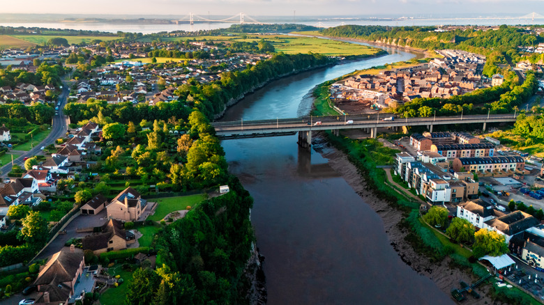
From Whitney, the River Wye continues to wind eastward to the town of Hereford, England. Approaching the town, which is home to numerous historic buildings and relics, including Hereford Cathedral, fishermen will find a handful of excellent access points. However, as the river exits the city and heads back south and west towards Wales, visitors can enjoy an amazing array of both fishing sites and trails. Along this stretch in which the river enters the Wye Valley National Landscape, there are over a dozen access points for anglers. There are also numerous trails, such as the popular King Arthur's Cave Circular, a 5.4-mile trail along the river which cuts through the Lord's Woods to King Arthur's Cave.
The river reemerges in Wales just east of Monmouth. Just before the river enters town, is passes through Priory Grove, a riverside preserve with trails and a menagerie of wildlife, including both fallow and roe deer. Anglers can find fishing access points both upstream and downstream of town. A short distance downstream, just above the village of Redbrook, England, the river becomes the boundary between England and Wales for the final miles of its journey. It enters the Severn Estuary just outside the town of Chepstow, where visitors will find trails along Wales' breathtaking coastline.
There are various ways to reach the River Wye, depending on which section you plan to begin your journey. If you are planning to start in Chepstow on the lower river, anywhere on the English side, or in Monmouth, Wales, the closest airport is Bristol Airport (BRS) in England's vibrant, artsy city. Should you wish to start in either Rhayader or Hay-on-Wye, Cardiff Airport (CWL) is the closest option.